Unseasonal May Blizzard Imperils Western Freight Routes and Interstate Logistics
Denver, Saturday, 2 May 2026.
Threatening crucial supply chains, an unseasonal May storm will hit western states with up to 1.2 meters of snow and 129 km/h winds, forcing major interstate closures.
The Sierra Nevada Bottleneck
As of today, May 2, 2026, logistics coordinators are bracing for a late-season Sierra Nevada winter storm set to severely impact California [1]. Driven by moisture levels that are 90 percent above seasonal norms, this system threatens to paralyze major freight corridors that serve as the backbone of West Coast trade [1]. Snow levels are forecast to plummet from 2133.6 meters on Sunday, May 3, down to as low as 1371.6 meters by Tuesday, May 5 [1]. Consequently, critical transport arteries—including Interstate 80 over Donner Pass at an elevation of 2133.6 meters, Highway 50 over Echo Summit at 2250 meters, and Highway 395—are facing mandatory chain controls and potential closures [1].
Expanding Disruptions Across the Rockies
The unseasonal weather pattern extends far beyond the West Coast, having already triggered winter storm warnings from the National Weather Service (NWS) for Colorado and New Mexico as early as April 30 [2]. In New Mexico, forecast models predict additional snow accumulations between 15 and 25 centimeters above 2.9 kilometers, with snow levels dropping to 2.3 kilometers [2]. Meanwhile, Colorado’s Rampart Range and mountainous regions, including Pikes Peak and Woodland Park, are expecting additional accumulations of 8 to 15 centimeters [2]. At the highest elevations across these regions, total potential accumulations approach 0.56 meters (56 centimeters) [2].
Agricultural Peril and Freezing Temperatures
While heavy snowfall disrupts transportation, plummeting temperatures pose an equally severe economic threat to the agricultural sector and local infrastructure [GPT]. Freeze warnings have been broadcast across a massive swath of the country, stretching from the Intermountain West through to the Great Lakes and the Mid-Atlantic [2]. States such as Wisconsin and Michigan are currently bracing for a hard freeze, with interior areas of Michigan potentially seeing temperatures drop to -6 degrees Celsius by this morning, Saturday, May 2 [2].
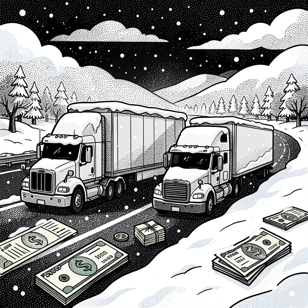
Navigating the Supply Chain Freeze
The timeline for this disruptive weather event requires immediate strategic adjustments from freight operators [GPT]. The primary storm system is projected to arrive Sunday evening, May 3, reach its maximum intensity on Monday, May 4, and finally taper off by Tuesday afternoon, May 5 [1] [alert! ‘Source 1 contains a contradictory secondary timeline stating arrival on Sunday May 4 and peak on Monday May 5, but May 4 is a Monday in 2026. The primary timeline of Sunday May 3 to Tuesday May 5 is mathematically consistent with the 2026 calendar.’]. During this active warning period, strict chain controls will remain in effect, and commercial drivers are urged to consult the Caltrans QuickMap before initiating travel [1].