Offshore Hurricane Marie Threatens California Supply Chains and Coastal Businesses
Los Angeles, Sunday, 6 September 2026.
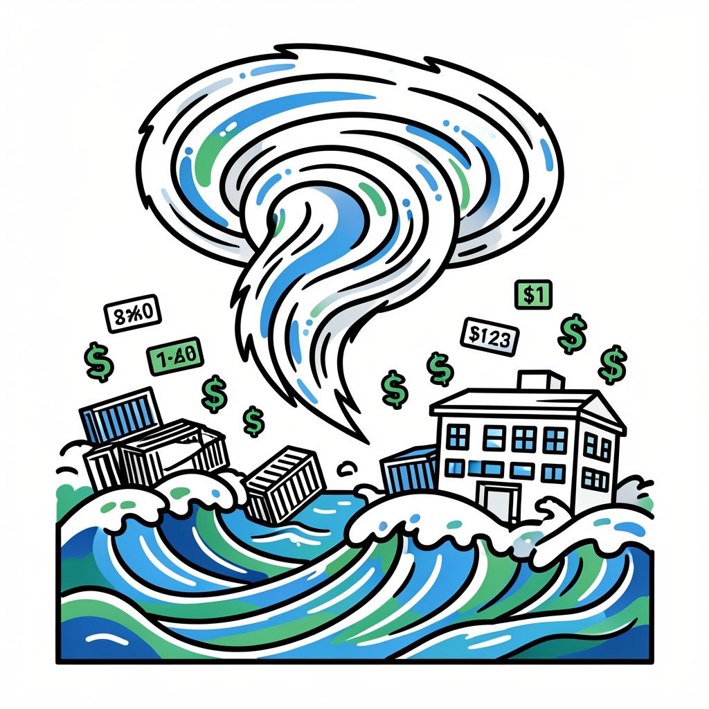
Though offshore, Hurricane Marie’s surge of moisture threatens Southern California’s supply chains and holiday tourism with coastal flooding, heavy surf, and localized storms.
Advisory Timelines and Weather Metrics
The National Weather Service has issued a Coastal Flood Advisory for Los Angeles and Ventura counties, effective from 06:00 on September 5, 2026, until 23:00 on September 8, 2026 [4]. This advisory window spans a total duration of 89 hours, covering the critical Labor Day holiday period [4]. During this timeframe, vulnerable low-lying coastal areas such as Long Beach, Malibu, and Point Mugu face heightened risks of seawater flooding during high tides [1]. Storm swells are predicted to push evening high tides above 2.13 meters, exacerbating potential damage to coastal infrastructure [4]. While Hurricane Marie is not forecast to make landfall, the system maintains Category 2 strength with sustained winds of 100 mph offshore, driving these hazardous conditions [4].
Supply Chain and Tourism Disruptions
Regional logistics hubs and supply chain operators are instituting contingency plans for potential freight delays along major transport corridors connecting coastal ports to inland distribution centers [1]. The timing coincides with one of the year’s heaviest holiday travel and retail weekends, amplifying the economic stakes for regional businesses [1]. Tourism enterprises face significant disruptions due to dangerous beach conditions, with the National Weather Service warning of an increased risk for ocean drowning due to widespread rip currents [1]. Local beaches are advised to be avoided during this typically busy Labor Day weekend to mitigate liability and ensure public safety [1]. The convergence of high surf advisories and coastal flooding threatens both immediate revenue loss and longer-term erosion damage to beachfront assets [4].
Forecast Trajectory and Regional Scope
According to the National Hurricane Center Discussion Number 20 issued on September 5, 2026, Hurricane Marie is moving northwestward around 6 kt, steered by a strong mid-level ridge [3]. Environmental conditions are expected to gradually become less favorable over the next couple of days as the cyclone moves over cooler sea surface temperatures, resulting in slow weakening into early next week [3]. The forecast calls for Marie to become a post-tropical remnant low by 96 hours from the initial advisory, followed by dissipation by 120 hours [3]. While the core weather action may bypass some inland areas like Kern County, a corridor of impactful weather could develop over portions of Southern California late Saturday night into Sunday morning [2]. Atmospheric lift and instability may lead to showers and thunderstorms from coastal waters up across the mountains and through the deserts toward Las Vegas [2].
Safety Protocols and Recovery Outlook
Safety instructions from the National Weather Service emphasize swimming near a lifeguard and checking in if swimmers are inexperienced [4]. Rip currents are expected to be extremely strong, with advice to swim parallel to shore rather than fighting the current if caught [4]. Meteorologists forecast rainfall totals under 12.7 mm for most of Los Angeles County, with isolated higher amounts in coastal-facing mountains [4]. As the system weakens and becomes more shallow, a turn back toward the west-northwest is forecast as the cyclone becomes increasingly steered by low-level flow [3]. Businesses and residents are advised to remain weather-aware through Tuesday as the effects of Hurricane Marie continue to churn offshore into next week [1].