Pacific Storm Threatens California Freight Routes and Coastal Communities
Los Angeles, Thursday, 19 November 2026.
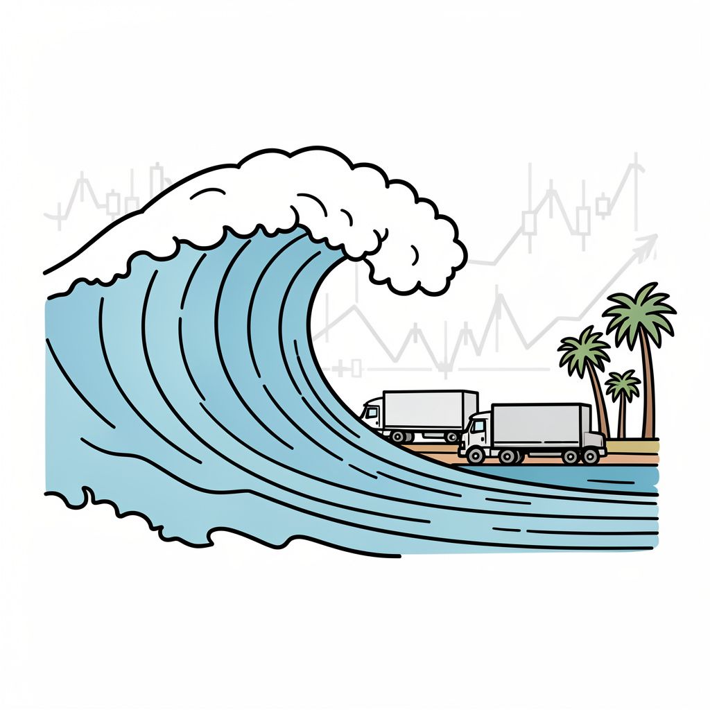
Carrying moisture equivalent to the Mississippi River, an atmospheric river is inundating California, prompting Los Angeles evacuation alerts and threatening vital freight corridors with flash floods and heavy snowfall.
Atmospheric River Unleashes Historic Rainfall Across California
California is experiencing its first major atmospheric river event of the El Niño winter season, with record-breaking rainfall and severe flooding risks disrupting critical infrastructure and logistics networks. Downtown San Francisco recorded its highest daily rainfall in over a century, eclipsing a 1914 record as measured by the National Weather Service [2]. The deluge overwhelmed municipal sewer systems and forced Waymo to suspend its robotaxi service across the Bay Area [2]. In Southern California, rainfall rates reached 13 to 25 millimeters per hour (0.5 to 1.0 inch) across Santa Barbara, San Luis Obispo, Ventura, and Los Angeles counties, with coastal slopes receiving up to 127 millimeters (5 inches) [1]. The storm system, carrying moisture equivalent to the Mississippi River as it crashes into the West Coast [2], has prompted widespread flood watches and emergency evacuations.
Evacuation Orders and Fire Scar Warnings Intensify
Los Angeles County officials issued evacuation warnings from 18:00 on November 18, 2026, through 08:00 on November 20, 2026, for residents near six major burn scars, including the Eaton, Palisades, Sunset, Kenneth, Hurst, and Canyon fires [1]. The Los Angeles County Fire Department warned that ‘Heavy rainfall and subsequent flooding or debris flows may make roads and evacuation routes impassable with little or no warning’ [1]. Neighborhoods near the Palisades, Hurst, and Sunset burn areas were specifically targeted for possible evacuations, with high-risk homes slated for visits by the LAPD [2]. These measures reflect heightened concerns over mud and debris slides on fire-scarred hillsides, particularly as El Niño conditions continue to elevate sea levels and tilt weather patterns toward wetter-than-normal conditions in Southern California [2][4].
Heavy Snowfall Paralyzes Mountain Passes and Logistics Routes
The storm system has also dumped substantial snowfall across California’s mountain ranges, with up to 203 millimeters (8 inches) of snow above 2,134 meters (7,000 feet) and 25 to 76 millimeters (1 to 3 inches) above 1,676 meters (5,500 feet) [1]. Mammoth Mountain ski resort in the Eastern Sierra opened nearly a week ahead of schedule on November 5, 2026, as part of an early-season snowpack buildup that reached 89 centimeters (35 inches) by November 17, 190% of the seasonal median [1][5]. Forecasters at the U.S. Weather Prediction Center warned that up to 762 millimeters (30 inches) of snow could fall around Truckee, California, in the Sierra Nevada, with ‘the first substantial snowfall event out there for the winter season’ [2]. These conditions threaten to close or severely restrict traffic along key freight corridors, including Interstate 80 and Highway 1, which experienced a 74-kilometer closure between Nepenthe and Ragged Point due to flooding [2][1].
Economic Impact: Supply Chain Disruptions and Infrastructure Strain
The combined effects of flash flooding and heavy snowfall are poised to create significant disruptions across California’s supply chains, particularly in Los Angeles County, which serves as a critical logistics hub for the state’s $3.4 trillion economy [GPT]. Freight corridors such as I-5 and I-10, which traverse fire-scarred and flood-prone regions, face heightened risks of closures or delays, with evacuation orders potentially stranding commercial vehicles [1][2]. The National Weather Service’s warning of ‘dangerous ocean conditions’ and ‘high surf advisories’ through November 20, 2026, further threatens coastal operations, including Morro Bay, Ventura harbors, Pismo Beach, and Cayucos piers [1]. These disruptions compound existing challenges, such as the closure of Interstate 80 earlier this month due to snow accumulation [5]. With 4,500 customers in Oakland and 3,000 in Hayward already experiencing power outages, the economic toll extends beyond transportation into energy infrastructure and commercial operations [2].
El Niño Amplifies Risks and Longer-Term Concerns
The current atmospheric river event is being fueled by a historically strong El Niño, which has already elevated Pacific Coast sea levels and increased moisture delivery to the West Coast [3][4]. Daniel Swain, a climate scientist at the University of California Agriculture and Natural Resources, noted that the ‘extra ‘juice’ might be a bit of a signature of storms during our very strong El Niño winter this year’ [5]. Julie Kalansky, a climate scientist at the Scripps Institution of Oceanography, cautioned that while El Niño patterns generally favor wetter conditions in Southern California, ‘there is still a lot of variability and not every event is going to follow the general pattern’ [5]. Forecasters warn that a third storm system may arrive on November 24 or 25, 2026, with a 20% chance of being ‘decent sized,’ while another system is expected to bring additional rain to the Central Coast on November 22, 2026 [1][3]. These developments underscore the need for supply chain managers to prepare for prolonged disruptions, as California’s wet season typically extends through March 2027 [4].
Sources
- www.latimes.com
- www.bloomberg.com
- gizmodo.com
- lacounty.gov
- www.facebook.com
- www.facebook.com
- www.facebook.com