Record Pacific Ocean Heat Points to Unprecedented Winter Weather Pattern
Washington, Saturday, 22 August 2026.
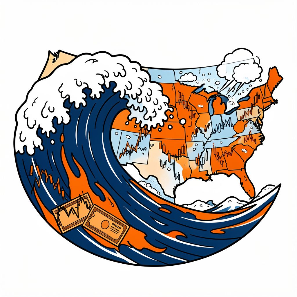
Equatorial Pacific heat metrics have shattered all modern records, leading meteorologists to project a 90 percent chance that a historic El Niño will disrupt weather across the United States.
Regional Economic Disruptions and Agricultural Shifts
The anticipated weather pattern poses significant risks to agricultural output and energy stability across multiple regions. In Oregon, the phenomenon is characterized by warmer Pacific Ocean temperatures that alter global jet stream patterns, with impacts expected to occur from October 2026 through March 2027 [1]. Historical data from strong events indicates a pattern of warmer-than-normal temperatures accompanied by average to above-average precipitation and snowpack, which contrasts with traditional expectations of dry conditions [1]. Strong El Niño events historically correlate with a 50% to 100% increase in atmospheric rivers, which are warm, moisture-heavy storms that can cause flooding and deplete snowpack when they occur [1]. In the Midwest, dry spells in Iowa and Nebraska during July 2026 are identified as potential early previews of the strengthening 2026 Super El Niño [3]. These shifts threaten regional infrastructure and energy grid stability through extreme weather events and unseasonable temperatures [3].
Water Resources and Infrastructure Vulnerabilities
Water reservoir levels remain a critical concern for western states entering this volatile period. Utah reservoirs are at 52% capacity following a record-low snowpack during the previous season [2]. On 2026-08-20, Governor Spencer Cox stated he remains hopeful that the Super El Niño will bring significant moisture this winter, noting that a poor water year would necessitate further restrictions in 2027 [2]. Conversely, in Oregon, while the state is currently experiencing a historically active wildfire season due to extreme dryness, a wet El Niño winter could potentially aid drought recovery and replenish low reservoir levels [1]. However, strong El Niño events create snow eater conditions in Oregon that deplete snowpack and increase flood risks, counteracting public perception that El Niños are exclusively dry [1]. Some of the biggest historic floods in Oregon have happened during these really warm atmospheric river events when they fall on top of snow [1].
Climate Science Context and Future Outlook
Scientific confidence in the severity of this event is high, though terminology varies between institutions. AccuWeather stated on Thursday, 20 August 2026, that confidence is near 100 percent that the current climate pattern will reach super El Niño status [3]. NOAA forecasts indicate a 90% probability of a very strong El Niño and a 69% probability of a historic event exceeding all recorded El Niño strength levels since 1950 [1]. The current El Niño event has surpassed all prior records in the modern era, with the primary metric being the upper ocean heat anomaly of the Equatorial Pacific exceeding the intensity of the 1997-98 super El Niño [5]. As of 2026-08-19, NOAA OISST V2.1 data indicates extreme sea surface temperature anomalies, with marine heat waves intensifying due to the acceleration of human-made global warming [5]. In Minnesota, the Department of Natural Resources reported on 2026-08-20 that a Super El Niño is active, potentially the strongest in decades, which is expected to make the upcoming winter notably warmer and wetter than average [4]. Detailed winter weather outlooks are expected in November 2026, ahead of the start of the meteorological winter season [2].