United Nations Endorses New World Map Showing Africa's True Scale
New York, Sunday, 6 September 2026.
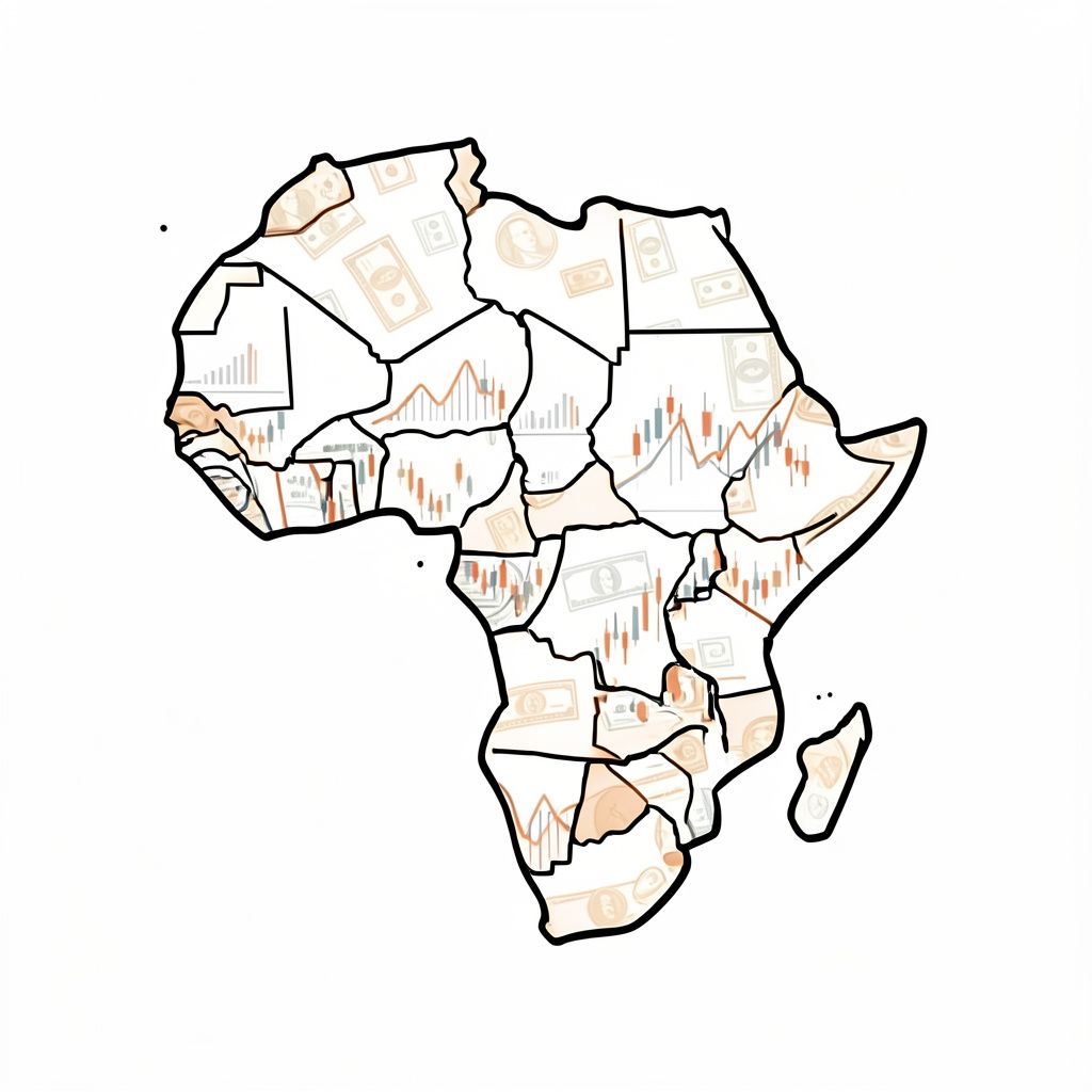
The United Nations voted overwhelmingly to adopt the Equal Earth map projection, correcting centuries-old distortions that shrank Africa’s scale compared to northern landmasses, with only the U.S. opposing.
A Historic Vote in New York
On Friday, 4 September 2026, the United Nations General Assembly convened in New York to vote on a resolution that would reshape global cartographic standards [1][5]. In a decisive 164-1 vote, member states adopted the Equal Earth map projection, marking a significant shift away from the 16th-century Mercator projection [2][3]. The resolution, sponsored by Togo on behalf of the African Union, encourages governments and institutions to utilize maps that accurately reflect the true geographic size of continents, particularly Africa [5][6]. This overwhelming approval represents 99.394 percent of the voting members who cast a affirmative or negative vote, excluding abstentions [1][4].
A Historic Vote in New York
The Mercator projection, created by Gerardus Mercator in 1569, has long been criticized for distorting landmasses near the poles while shrinking equatorial regions [3][7]. Under the traditional map, Greenland appears similar in size to Africa, despite the African continent being approximately 14 times larger in reality [2][5]. The newly endorsed Equal Earth projection, introduced in 2018, corrects this discrepancy by maintaining equal-area representation [7]. This cartographic update aims to rectify the symbolic minimization of developing nations that has persisted in educational and media materials for centuries [5][6].
Diplomatic Divides and US Opposition
The United States stood as the sole dissenting vote against the global cartographic transition, describing the resolution as a radical ideological project [1][4]. Yaryna Ferencevych, deputy U.S. representative to the U.N. Economic and Social Council, stated that such resolutions are barnacles on the institution’s work and damage its credibility [4][5]. While six nations including Estonia, Georgia, Lithuania, Moldova, Serbia, and Ukraine abstained from the vote, the U.S. remained the only opponent [2][3]. This diplomatic stance highlights differing perspectives on the role of international bodies in standardizing cultural and educational tools [4][6].
Diplomatic Divides and US Opposition
In contrast to the U.S. position, France announced prior to the vote that it would abandon the Mercator projection for its official world maps [6]. French Foreign Minister Jean-Noël Barrot noted that correcting a representation that distorts the world is an act of truth, even if it does not change physical geography [2][6]. The European Union supported the resolution with caveats regarding territorial sovereignty, while African leaders framed the initiative as cognitive justice and memorial reparation [5][6]. Togo’s Foreign Minister Robert Dussey emphasized that a fair map changes how the world is seen, paving the way for greater respect among nations [4][5].
Cartographic Accuracy and Implementation
The resolution is non-binding but establishes official U.N. backing for equal-area maps in schools, textbooks, and digital platforms [3][7]. Advocacy groups like Africa No Filter have campaigned for accurate maps to influence collective perceptions and education [2][6]. The Equal Earth projection was developed by cartographers Tom Patterson, Bernhard Jenny, and Bojan Šavrič to follow the Earth’s curvature without compromising shape integrity [7]. Experts argue that outside of narrow navigation applications, there is little point in continuing to use the distorted Mercator projection for general reference [3][7].
Cartographic Accuracy and Implementation
Looking ahead, implementation efforts are scheduled to begin with an event in Lomé during the first quarter of 2027 [6]. Togo is collaborating with UNESCO and partners like Google Maps to facilitate the transition to the new standard [6]. As of 6 September 2026, the United States Mission to the United Nations had not responded to requests for further comment regarding the resolution [4]. The move signifies a broader trend toward aligning geographic representations with demographic and economic realities [6][7].
Sources
- www.washingtonpost.com
- www.nbcnews.com
- www.cbsnews.com
- www.foxnews.com
- news.un.org
- www.theguardian.com
- www.npr.org