NOAA Integrates Commercial Drone Data to Refine Forecast Accuracy
Washington D.C., Sunday, 18 January 2026.
For the first time, the National Weather Service will integrate autonomous drone data into operational forecasts, targeting critical observation gaps in the lower atmosphere. This strategic partnership with Meteomatics promises to significantly enhance predictive accuracy for severe weather, offering vital risk mitigation for the aviation, energy, and logistics sectors.
Closing the Atmospheric Blind Spot
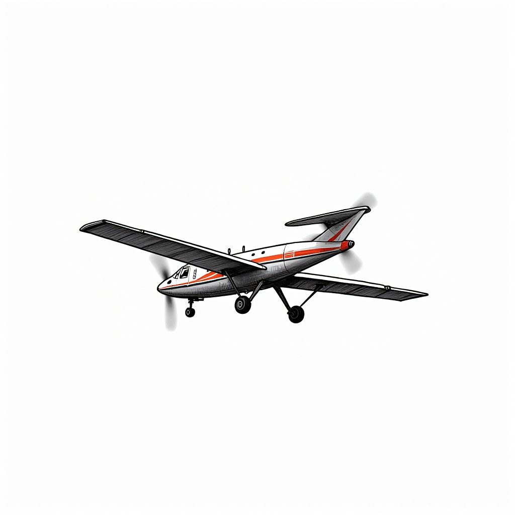
The collaboration, announced on January 15, 2026, addresses a persistent blind spot in meteorological observation known as the planetary boundary layer [3][6]. While satellites effectively monitor weather from space and ground stations cover surface conditions, the lower atmosphere—specifically the altitude range between 50 and 20,000 feet—has historically been difficult to profile with high frequency [3][4]. To bridge this gap, Meteomatics is deploying its ‘Meteodrones,’ which are engineered to capture vertical profiles of temperature, humidity, and wind within this specific column [3][5]. According to the National Weather Service (NWS), this data is critical because it represents the region where some of the most impactful weather phenomena, including thunderstorm formation and fog development, originate [3][4].
Operational Rollout and Strategic Alliances
This initiative is executed under the National Mesonet Program (NMP) and involves a consortium of industry partners to ensure data integrity and speed. While Meteomatics provides the drone technology and flight operations, KBR serves as the NMP Prime Contractor, coordinating the integration of data from non-federal networks [1][3]. Simultaneously, Synoptic Data PBC acts as the lead subcontractor, tasked with ensuring the data is delivered with the low latency required for real-time forecasting [3][4]. Ashish Raval, President and CEO of Synoptic Data, emphasized that the objective is to provide the NWS with immediate access to high-quality observational data to support their mission of protecting life and property [1][3].
Economic Implications of Hyperlocal Forecasting
For the broader economy, the integration of drone-derived atmospheric data offers tangible benefits for sectors sensitive to weather volatility. The enhanced vertical profiling is expected to improve the accuracy of forecasts regarding fog dissipation, air quality dispersion, and the specific precipitation types—rain, snow, or ice—associated with winter storms [2][3]. Martin Fengler, CEO of Meteomatics, noted that such public-private partnerships are essential for expanding national observing capabilities, particularly as severe weather events become more frequent [1][5]. By refining the data fed into forecasting models, the NWS aims to reduce weather-related disruptions in aviation, highway logistics, utilities, and agriculture, providing these industries with the lead time necessary to optimize their operations [2][3].
Sources
- www.commercialuavnews.com
- www.filmogaz.com
- www.meteomatics.com
- dronelife.com
- dronedj.com
- www.meteomatics.com