Direct-to-Device Satellite Data Accelerates the Precision of Ukrainian Drone Operations
Kyiv, Friday, 5 June 2026.
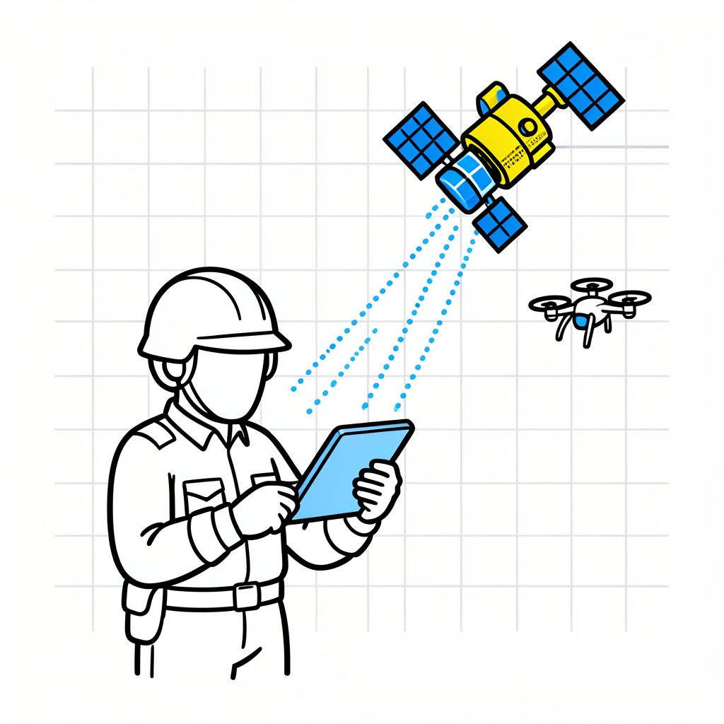
Delivering real-time commercial satellite imagery directly to frontline soldiers’ devices has slashed Ukraine’s target-to-strike time by 90%, enabling highly precise drone attacks on critical Russian infrastructure.
Compressing the Sensor-to-Shooter Cycle
The defining characteristic of the ongoing conflict in Ukraine as of mid-2026 is the rapid compression of the “kill chain”—the time it takes to identify a target and execute a strike [1]. Between December 2025 and June 2026, a groundbreaking trans-Atlantic partnership emerged, integrating technologies from Colorado-based Vantor, Dutch geospatial firm Bravo1Alpha, U.S.-based Persistent Systems, and Ukrainian entity Burevii [1]. This collaboration successfully tested and deployed a system that routes unclassified, high-definition commercial satellite imagery directly to the smartphones, tablets, and laptops of frontline Ukrainian soldiers [1]. By bypassing traditional, centralized intelligence reviews in Kyiv, this direct-to-device pipeline delivers actionable data within 15 minutes, reducing the time required to locate and strike Russian assets by up to 90% [1]. Franz-Stefan Gady, a military analyst and founder of Gady Consulting, notes that “compressing the sensor-to-shooter cycle is the defining trend of this war at the tactical level” [1].
High-Profile Strikes in Northwestern Russia
The real-world impact of this accelerated intelligence pipeline was vividly demonstrated in early June 2026. Between June 1 and June 4, a small Ukrainian Armed Forces unit stationed just 10 kilometers from the southeastern front line utilized Vantor’s real-time imagery over a three-day period [1]. This surveillance enabled them to identify concealed Russian armored vehicles and successfully execute a drone strike on a hidden meeting spot [1]. “It was good work,” remarked a Ukrainian soldier involved in the operation. “We made problems for our enemy” [1].
The Economics and Scale of Orbital Intelligence
The financial and operational scale of the commercial satellite sector underpinning these strikes is substantial. Vantor, the U.S. firm supplying the critical software and imagery, reported an impressive annual recurring revenue of $900 million in 2025 [1]. The company operates a constellation of 10 satellites that collectively map out 7 million square kilometers of the Earth’s surface every single day, averaging 0.7 million square kilometers per satellite [1]. Because these satellites pass over any given global coordinate 12 to 15 times daily, they provide an unprecedented refresh rate for geospatial intelligence, yielding coordinates that are accurate to within 5 meters [1].
Shifting Global Defense Paradigms
The success of decentralized intelligence in Ukraine is already reshaping defense procurement and operational doctrines in Western militaries [GPT]. In 2025, the U.S. Special Operations Command integrated new software designed to push near-real-time commercial satellite imagery directly to soldiers’ mobile devices [1]. Building on this momentum, the broader U.S. Army is currently developing a high-speed information system intended to deliver satellite intelligence straight to soldiers across all ranks, effectively sidestepping traditional headquarters review processes [1].