Severe Flooding Triggers Disaster Declaration Across 59 Texas Counties
Austin, Wednesday, 15 July 2026.
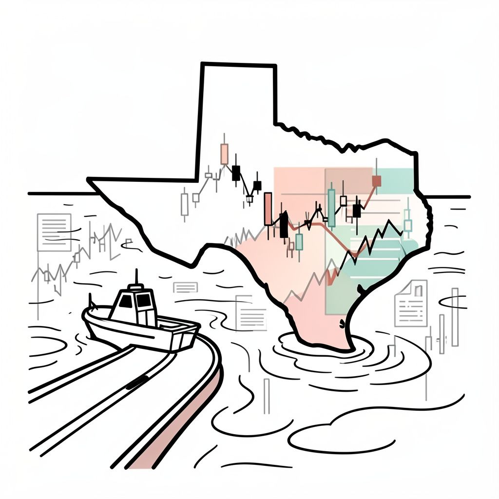
Governor Greg Abbott declared a state of disaster across 59 Texas counties as torrential rains trigger life-threatening flash floods, submerging roads and prompting urgent emergency rescues.
Escalating Emergency Operations and Infrastructure Risk
The Texas Division of Emergency Management (TDEM) has elevated its operations at the Texas State Emergency Operations Center (SOC) to Level II (Escalated Response) on a continuous, 24-hour basis [3]. This heightened operational status, which coordinates resources across 10 state agencies—including the Texas National Guard and the Texas Cyber Command—follows preliminary actions taken over the July 11–12, 2026 weekend, during which Governor Greg Abbott first directed TDEM to activate emergency response assets [3]. By Tuesday, July 14, 2026, the rapidly deteriorating weather conditions prompted a formal disaster declaration covering 59 counties [1][2][3]. This list includes major economic and population hubs such as Harris, Bexar, and Travis counties [1], which are critical to the state’s broader commerce, logistics, and corporate operations [GPT].
Localized Impacts and the Legacy of the Guadalupe River
The threat is particularly acute in the Texas Hill Country, where severe weather has already disrupted daily operations and commerce [2]. On July 14, 2026, the NWS Austin/San Antonio office issued flash flood warnings for South and Central Texas, reporting that over 76.2 mm (3 inches) of rain had fallen near the Guadalupe River in the preceding 24-hour period [2]. In Kerrville, the Kerrville Police Department reported multiple stranded vehicles, downed trees, and blocked roadways, explicitly warning drivers to avoid bypassing barricades [2]. Further south, in Uvalde County, the Texas Game Wardens and the Texas Department of Public Safety (DPS) South Texas Region were forced to execute multiple swift-water rescues as rising waters swept away vehicles [4][5].
Supply Chain Disruptions and Regional Economic Outlook
From a macroeconomic perspective, the geographical distribution of the flood risk poses a direct threat to interstate trade and supply chains [GPT]. A broad flood watch remains in effect through Thursday, July 16, 2026, encompassing Kerrville, the Interstate 35 (I-35) corridor, the southern Edwards Plateau, and the Rio Grande Plains [2]. The I-35 corridor serves as one of the most vital commercial arteries in North America, facilitating billions of dollars in trade between Mexico, Texas, and the wider United States [GPT]. Flooding along this corridor threatens to delay freight movements, increase transportation costs, and disrupt just-in-time inventory systems across multiple industries, including manufacturing and retail [GPT].